Esri Partner Network (Silver Tier) and ArcGIS Online Specialty Provider
GZA complements our comprehensive engineering, environmental and applied science services with a focus on sound data management and use of appropriate analysis and visualization applications.
We have dedicated technology practitioners in the areas of Data Science, Information Technology, Geospatial Systems, Application Development, IoT, Sensor and Monitoring Systems, CAD/BIM Design Technologies and Advanced Visualization & Modeling. One or more of these technologies are integrated into virtually every GZA project. We can also develop project-specific data management solutions when appropriate to address specific situational needs.
GZA is a leader in providing geospatial solutions. As an Esri Partner Network (Silver Tier) and ArcGIS Online Specialty Provider, GZA utilizes Esri's industry leading technology suite, ArcGIS Enterprise and ArcGIS Online, along with best practices for data management and geospatial solutions.
GIS is integrated with many other applications in our workflows to seamlessly integrate location-based information, enabling more efficient and data-driven decisions. Geospatial technology provides the backbone for the components of many of GZA's projects and services, including data planning, collection, information sharing, data management, analytics, and visualization.
- Data Modeling and Database Development
- Data Interoperability and Integration
- Location Intelligence and Spatial Analytics
- Web GIS Application Development and Hosting
- Data Dashboards
- Field Data Collection Planning & Support
- Asset Inventory and Management
- Custom ArcGIS Tools
- ArcGIS Online Planning, Support and Training
Data is the lifeline of GZA’s technical services. Our data team coordinates the collection, analysis, distribution, and reporting of data for projects throughout GZA. Environmental remediation, site investigation, and ecological surveys generate high volumes of data and frequently benefit from workflow automation supported by the data team.
EarthSoft’s EQuIS™ platform is an advanced data management and decision support system with Microsoft Azure hosting. This powerful tool is used to automate data collection and reporting and enable complex data analysis and visualization.
- Data Loading, Checking, Reporting, and Visualization
- Large-Scale Data Cleansing and Manipulation
- Web Dashboard Development
- Field Data Collection with Automated Data Uploading
- Historical Data Migrations
- Federal and State Agency EDD Generation
- Document Database Administration
Our design and visualization technology professionals work closely with our engineers, scientists, and data managers integrating a broad range of CAD, BIM, GIS and data management technologies to produce specialized, project-specific, visually-based technical solutions for our project teams and clients.
We maintain a highly skilled staff of technical and visual design professionals with advanced training and certifications in Adobe, Autodesk, Bentley, Esri, and other design, analytical and visualization software products ensuring each project receives a technically sound and creative solution.
- 2D and 3D Subsurface Visualization
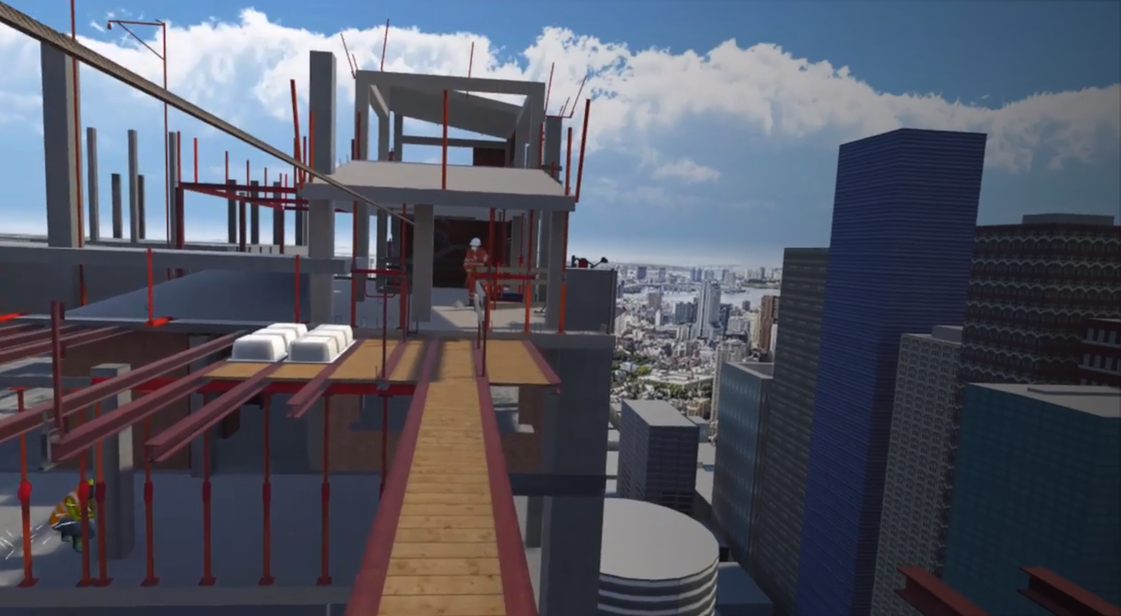
- 3D Modeling and Animation
- Virtual Reality (VR) and Augmented Reality (AR) Visualization Services
- Litigation Support and Expert Testimony
- Design-Build Expertise with Large Infrastructure Projects
- Geometric and Geo-Structural Design
- Site Design and Construction Logistics
- Data Analytics and Visualization
- Mine Planning and Design
- 3D Visualization and Numerical Modeling
- Data Visualization Consulting Services
Geotechnical, structural, and environmental instrumentation is paramount to safe and successful project execution. Pre-project planning, automated monitoring system design and installation, cloud-based data acquisition and processing, real-time visualization, and expert engineering analysis can help to assure design performance, maintain safe working conditions, reduce risk, and increase productivity for projects of all sizes and complexities.
With over 40 years of successfully implementing small and large-scale instrumentation systems, GZA offers a full spectrum of automated sensor monitoring and data management solutions. By leveraging long-term relationships with industry manufacturers and utilizing the expertise of engineers and scientists spread across multiple services sectors company-wide, GZA delivers innovative solutions and cutting-edge technology to streamline large volume data collection and processing to promote timely and critical decision making.
- Geotechnical and Structural Instrumentation Planning and Execution
- Value Engineering of Automated Sensor Systems
- Field Installation and Support Services
- Large-Scale Sensor Data Management
- Real-Time Data Collection and Processing
- Real-Time Web-Hosted Data and Plotting
- Engineering Analytics
- Data Visualization Consulting Services
Grand Manor 3D Modeling
Vibration and Deflection Monitoring for LNG Facilities
Confidential Client Environmental Property Management Services
Article
New Lead Paint Regulations: Costs, Paperwork & Questions
In the December 2022 issue of Commerce Magazine, Benjamin Sallemi, Ph.D, CIH is interviewed on the impact of new state regulations on lead-based paint in New Jersey.
Blog
Lead-Based Paint Inspections in New Jersey Rental Dwellings: Is Your Township Prepared?
Legislation recently passed by the State of New Jersey introduces new requirements for municipalities regarding Lead-Based Paint (LBP) Inspections in rental dwellings constructed prior to 1978. Rental...
Blog
Cybersecurity of Water Infrastructure with Data Diodes
Digital tools have changed the water industry, making remote access to data and critical instruments a part of everyday work. Yet the convenience offered by remote access comes with an increased...
Blog
Sheltering from the Storm: “Rain Bombs” and Developing Mitigation Approaches
You may have seen, read, or heard about the most recent extreme rainfall event in the United States that occurred in southeast Texas and Louisiana in mid-May 2021. Preliminary estimates of the total...
Tell us about your project.

